
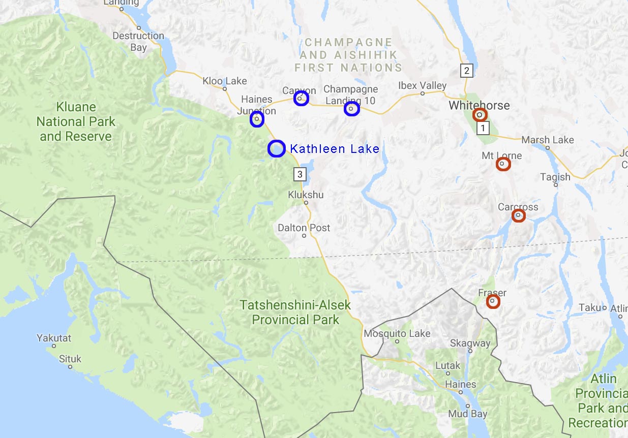
For our final day in Whitehorse we headed west along the Alaska Highway to Kluane National Park in cloudy conditions that eventually turned to rain. A kind of serenity cloaks a landscape in this weather which made for completely different – but still beautiful – photos from those of two days ago.
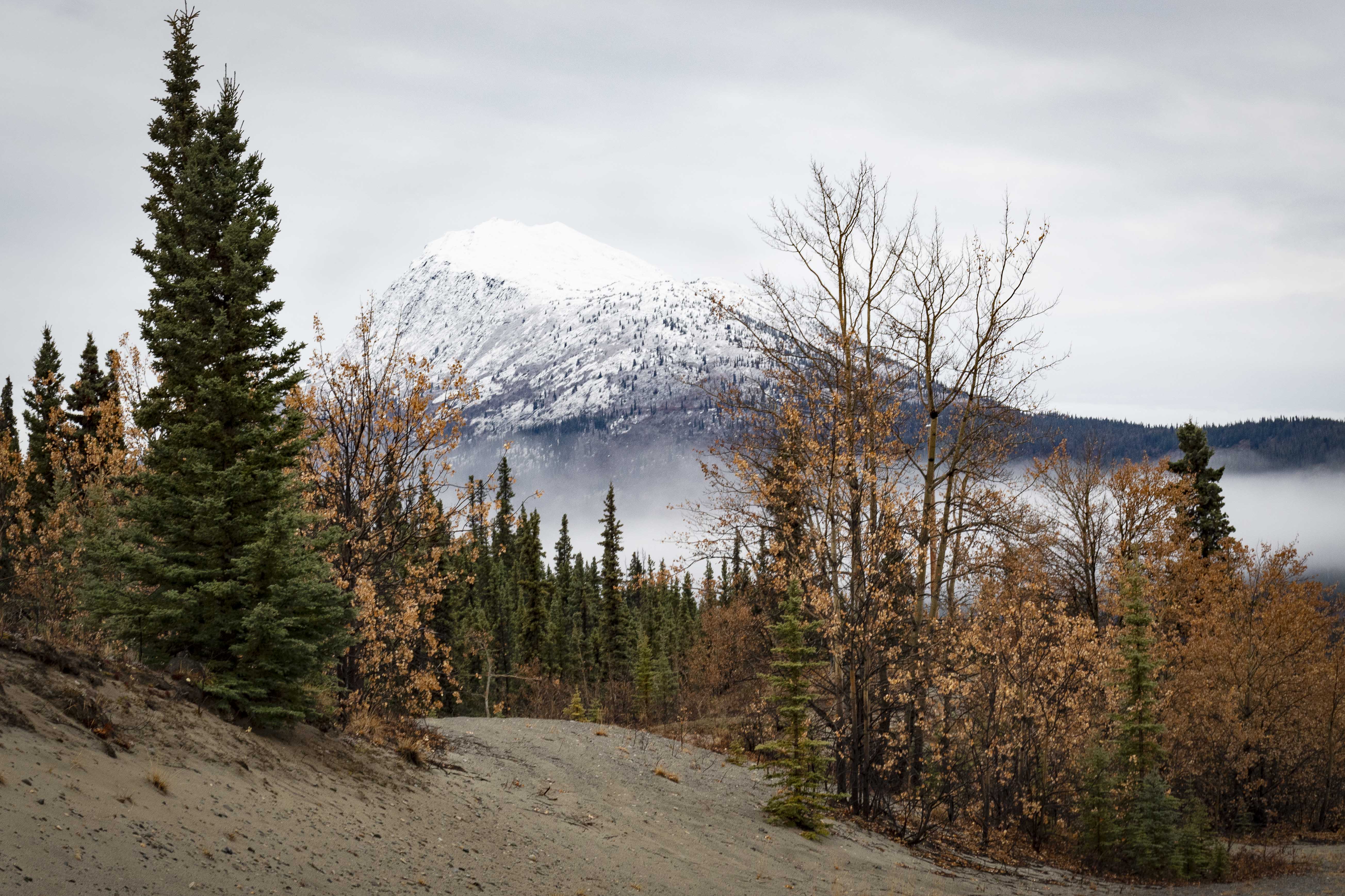
As we travelled west, trees became smaller and scrubbier which allowed for frequent photogenic scenes of distant mountains. By mid-October autumn in the Yukon has been underway for almost two months. Leaves have turned and by and large fallen from trees.
Our driver turned off the modern Alaska highway onto the old to give us a taste of what it was like before the new road was built. Along the way we came upon Shadhäla-ra/Champagne (population 24) at historic mile 974. Shadhäla-ra means “sunny mountains.” The name Champagne apparently comes from Klondike prospectors who celebrated with champagne when they first reached this point.
There are derelict huts and old vehicles strewn around historic mile 974, and “totem poles” made of hubcaps. A short way west of Shahäla-ra is a sharp turn in the highway where many drivers have discovered the perils of speeding. The hubcaps have been harvested from wrecks and serve as a warning to unsuspecting tourists.
Back on the modern Alaska Highway, we stopped at the old Canyon Creek bridge just east of Haines Junction. There is a new bridge on the Highway, but the original version, designed/built by Sam McGee in 1904, still exists. Our driver warned us to step carefully on the bridge, though he was “pretty sure” it was safe. I have encountered a lot of “pretty sures” in the Yukon and cavalierly take them at my own peril to mean “certain.” Fortunately this time the bridge was certainly safe. 🙂
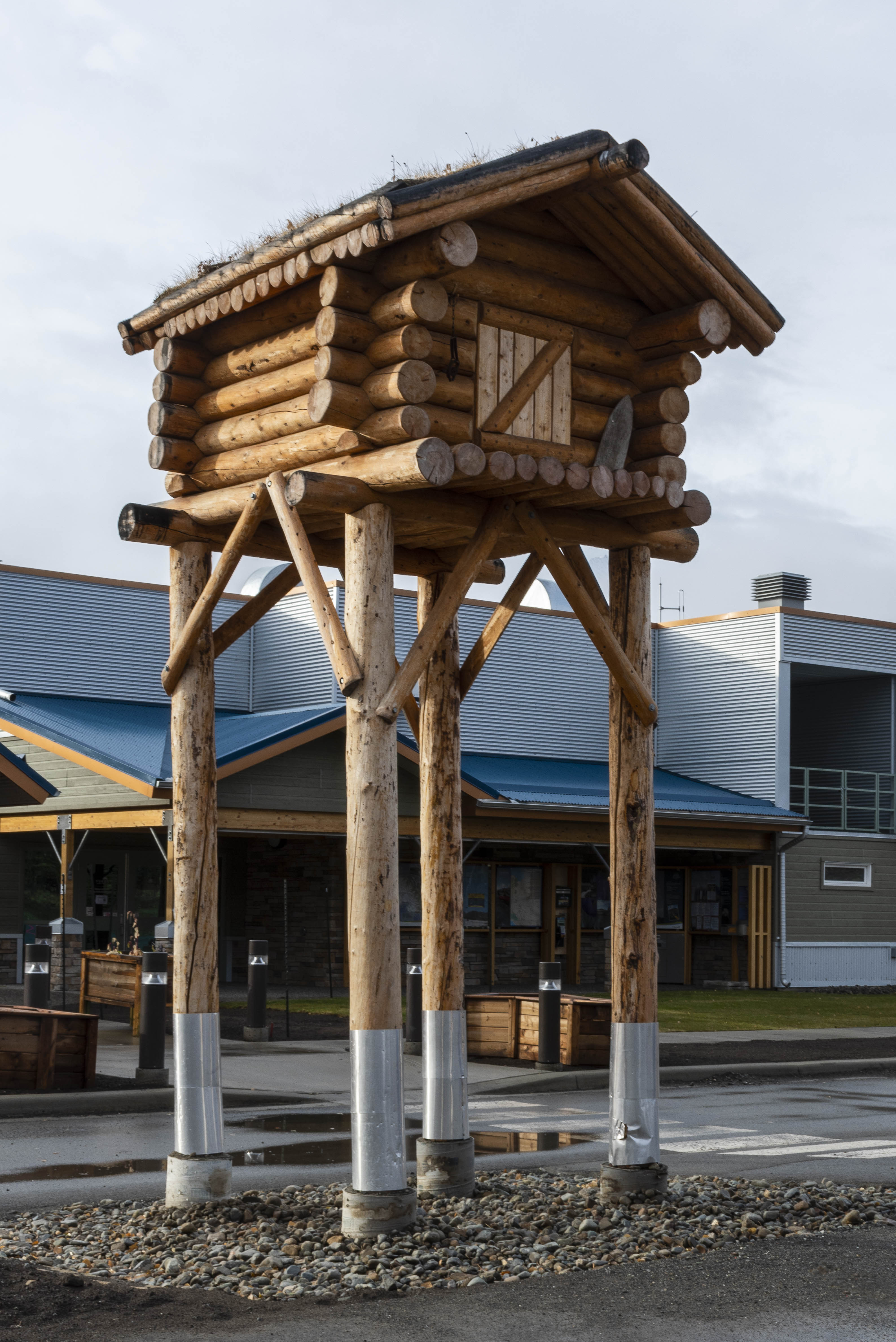
A quick stop at Haines Junction confirmed that the Visitor Centre was closed. The structure in the photo to the left is a food cache, well out of reach of bears.
We lunched at Kathleen Lake in Kluane National Park. Here the clouds threatened rain but held off long enough for us to wander about and take our photographs. I have seen photos of Kathleen Lake in the sun. Reflections of surrounding mountains and trees are vivid, the water a deep blue. The Kathleen Lake we found was calm, the colours muted but mistily beautiful. Experiencing this Kathleen Lake was food for the soul.
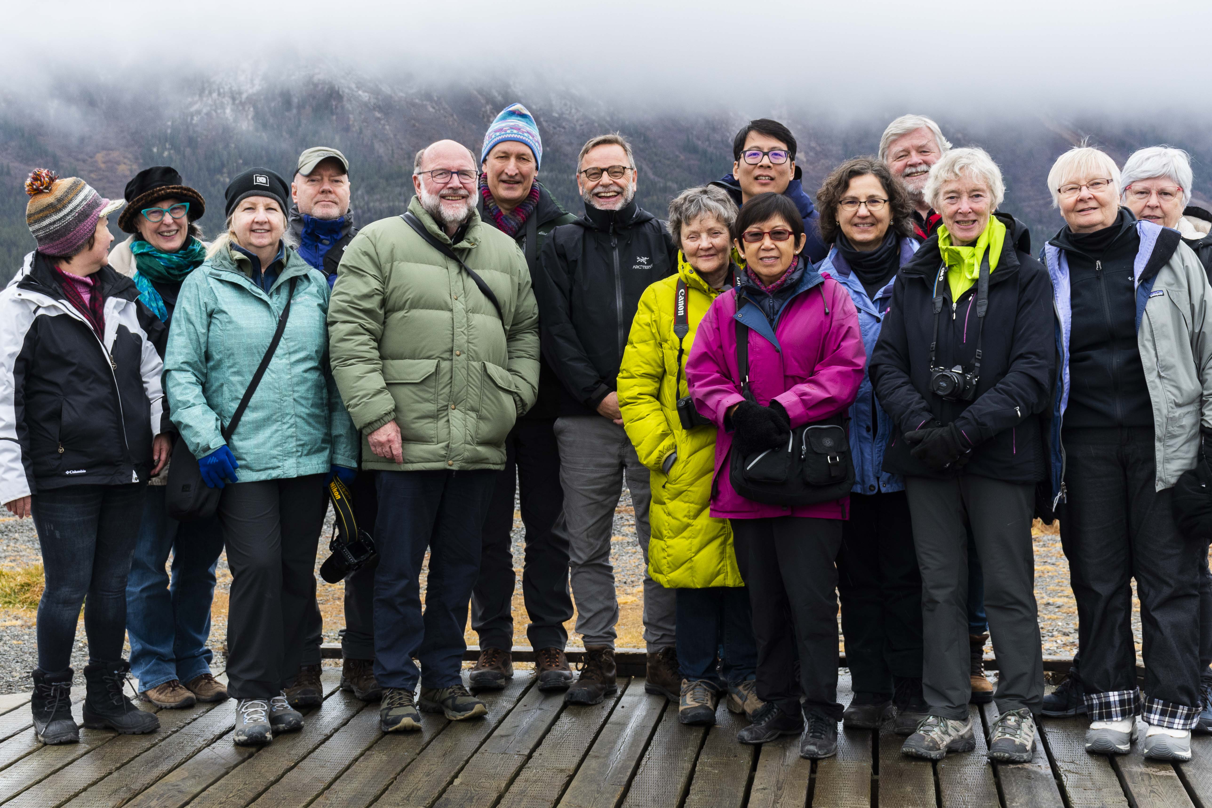
We posed for a group photo at Kathleen Lake. I am looking a little preoccupied as the driver was trying to compose the photo using the screen on the back of my camera which was black since I use the viewfinder for compositions myself. Our fearless Langara leader, Jim Balderston, is the smiley guy in the centre of the photo. He was not about to let a little cloud and rain get us down, ha ha!
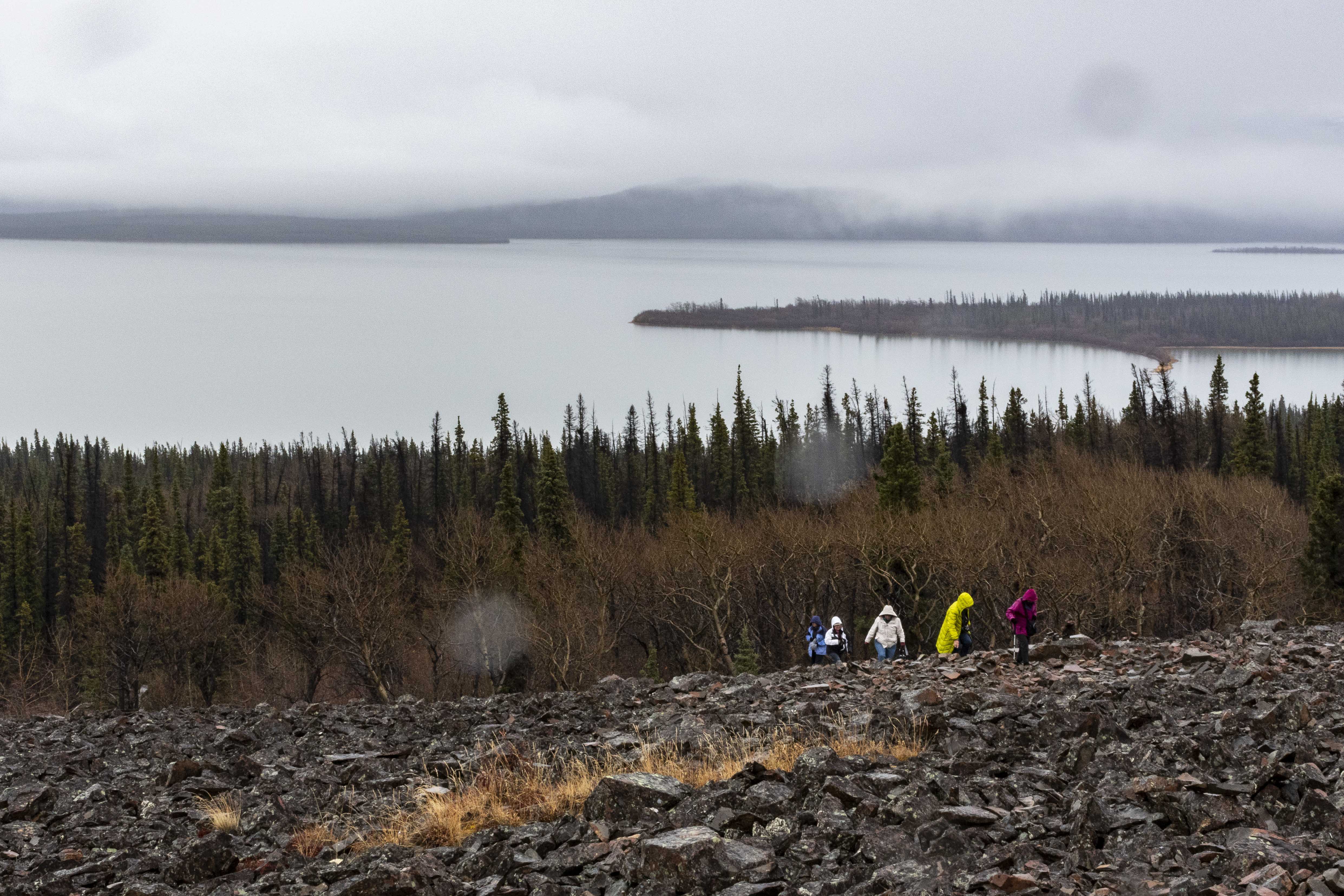
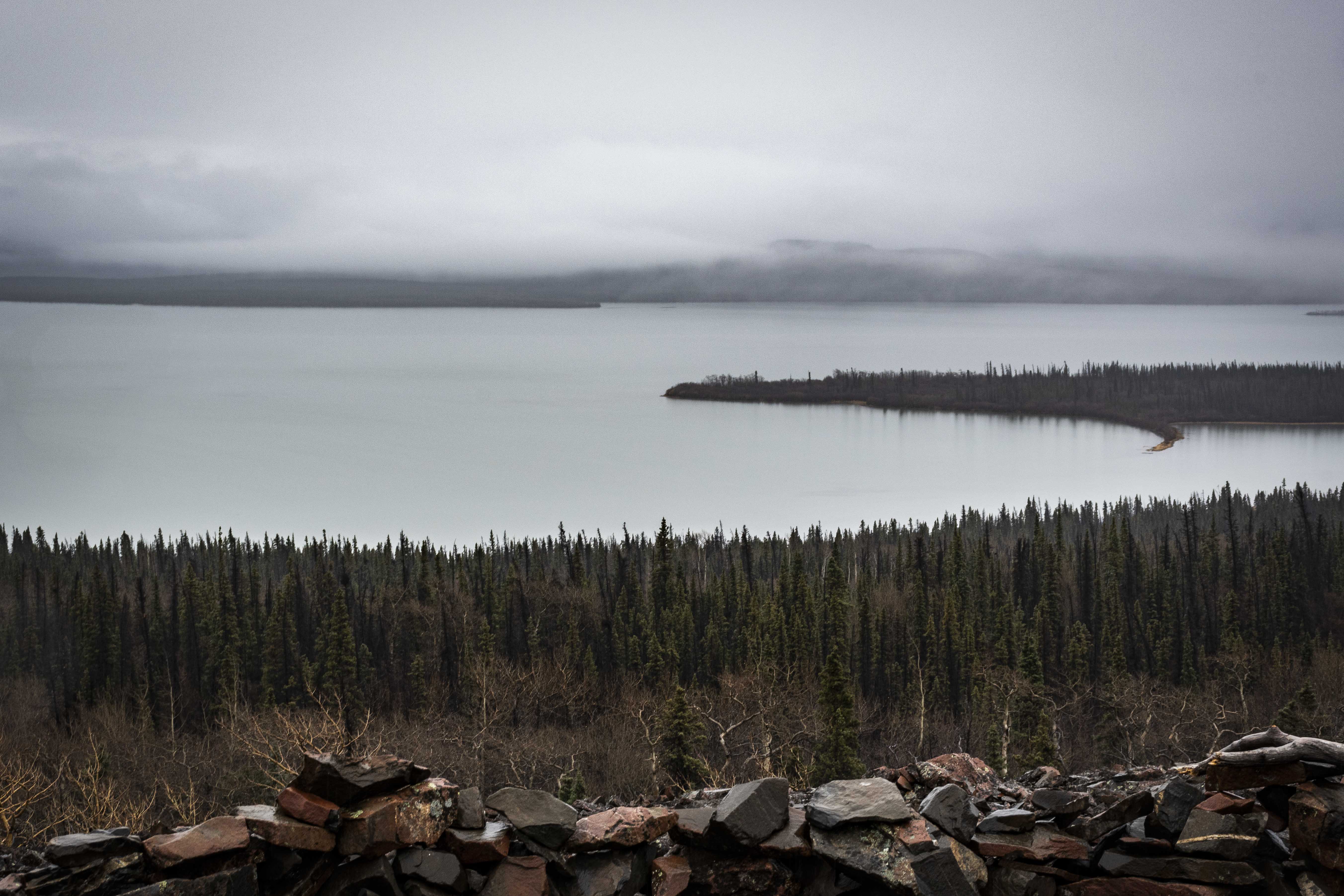
Our final stop of the day was at a “small ridge” (Jim’s description) created by the retreat of a glacier. I would have classified the ridge as slightly taller than small, but who wants to mince words? The climb reminded me a bit of a couple of the rainy hikes on my Iceland trip, but this one was treacherous in the vertical, rather than the horizontal, direction. Yet Jim was right. The view was pretty spectacular through the rain that dotted my lens.
We returned to Whitehorse in the rain which was forecast to be unrelenting and decided to forgo a final visit to the aurora borealis viewing site. This decision was made in part because of the weather and in part because the airport shuttle would be picking us up at 5:30 in the morning. No one complained as we were all delighted with our first night’s experience.
I am sure Jim will take a group on this tour next year as well. It is part of the Langara College educational travel program. You needn’t be a Langara student to join a tour. My friend Dianne from Santa Rosa, CA came on this tour and though she is American and who knows, possibly a national security risk, we accepted her as one of our own. 🙂 At some point we will have a group reunion for locals and show each other our photos. It would be hard to make anything but beautiful photographs in the Yukon!


Leave a Reply