On the Move

First day on the Rock!
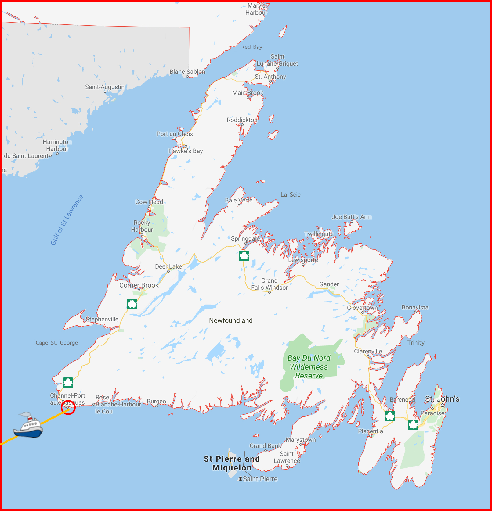
Click on the map for a larger version

Tracey and I arrived safely in Newfoundland though the ferry trip was a little daunting. There was the expected yet surprisingly minimal rolling, but as the ferry hit big waves there would be ominous thumps, and the biggest waves made this huge ferry – and us! – judder! Concern and kindness were on hand as crew members asked how we were doing and came through with blankets for comfort and snoozes.

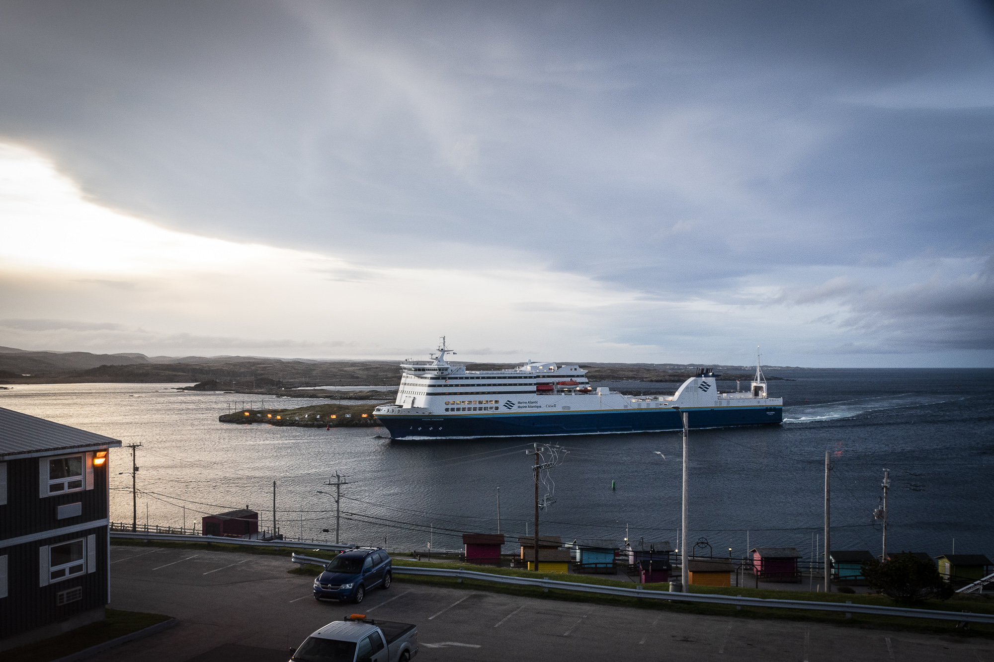
We spent the night at Port aux Basques (circled in red on the map) before heading out for our first day of exploring Newfoundland and Labrador. The silver lining to struggling with a 4.5 hour time change is being awake waaay too early and catching the dawn arrival of the overnight ferry from North Sydney entering Port aux Basques harbour.
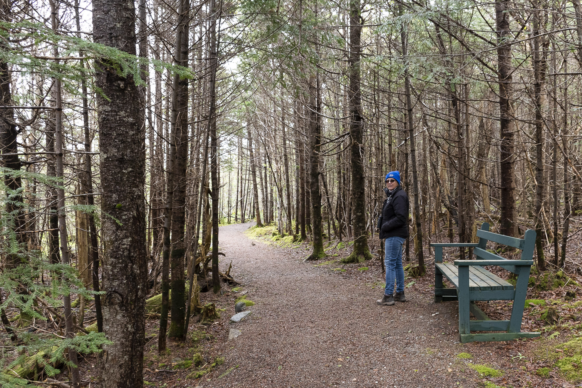
Codroy Wetlands trail – click for a better look at Tracey!

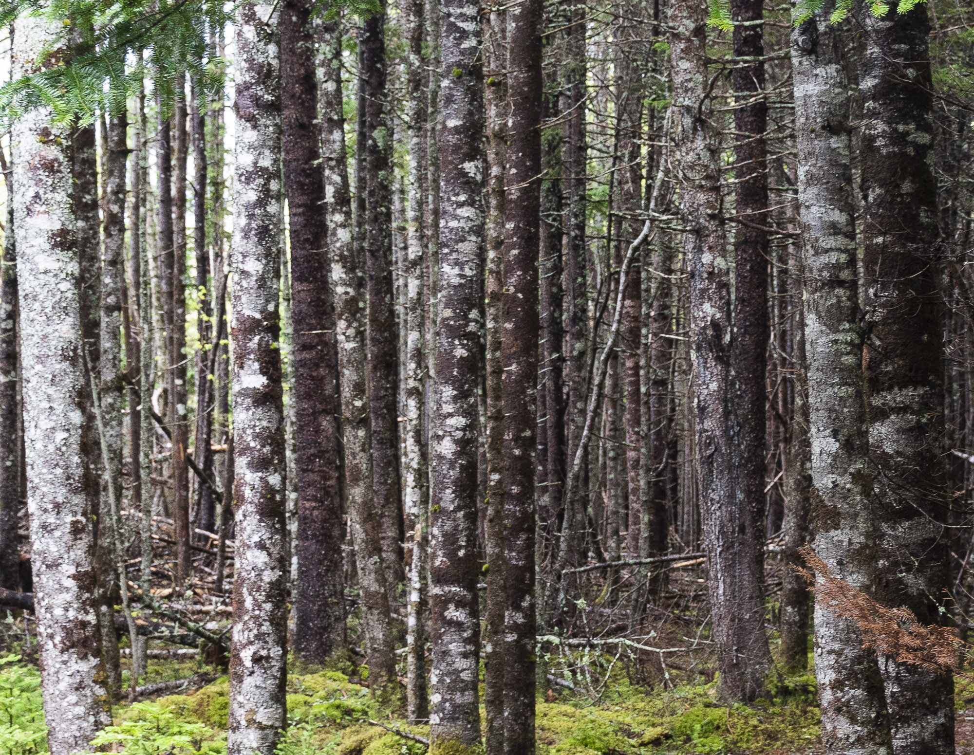
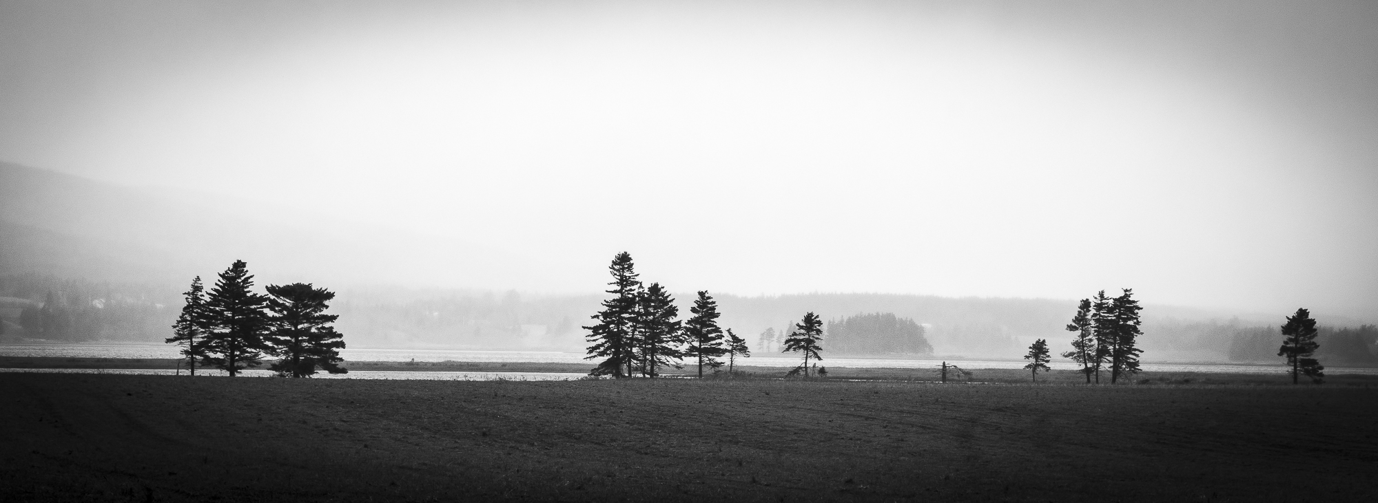
First stop: the Codroy Valley Wetlands in search of birds to photograph. Today was so cold and windy and damp, however, that the smart birds decided to stay home. Tracey and I, however, enjoyed our walk on the trail where we were sheltered from the wind. We found fiddleheads popping up to say hello to each other, and thickets of dense trees. The trail appeared to end at a farmer’s field with the estuary and a few trees in the misty distance.
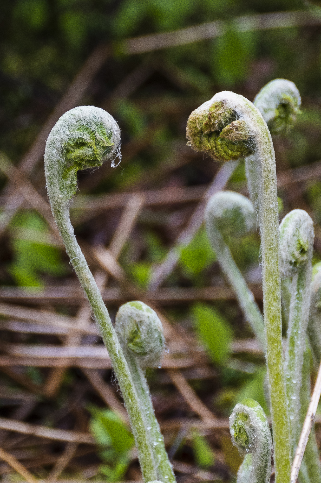
Hello! Welcome to spring!

Further along the same road is the historic Cape Anguille lighthouse marking the most westerly point on the island. (When in St. John’s I plan to visit Cape Spears, the most easterly point.) We are before times for tourist season and are finding roads and monuments and nature trails quite empty.

Cape Anguille Lighthouse

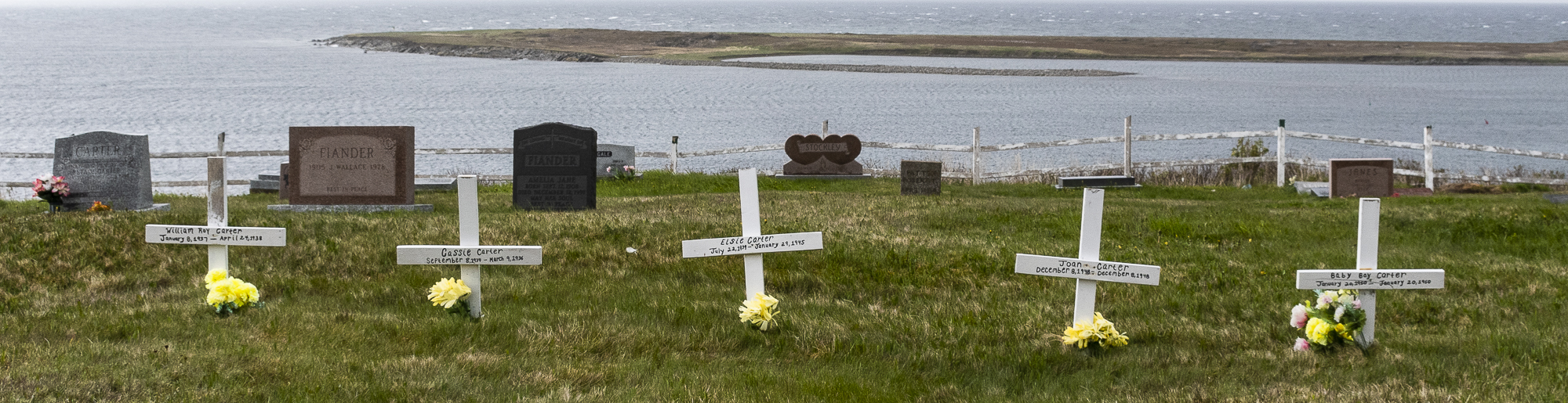
The drive back to the TransCanada Highway took us past Holy Trinity Church with its moving cemetary. The Carters who lived to be 90 years old shared space with five of their children who died at birth and in very early childhood. It is heartbreaking to contemplate.

Holy Trinity Anglican Church
Crosses for five baby Carters
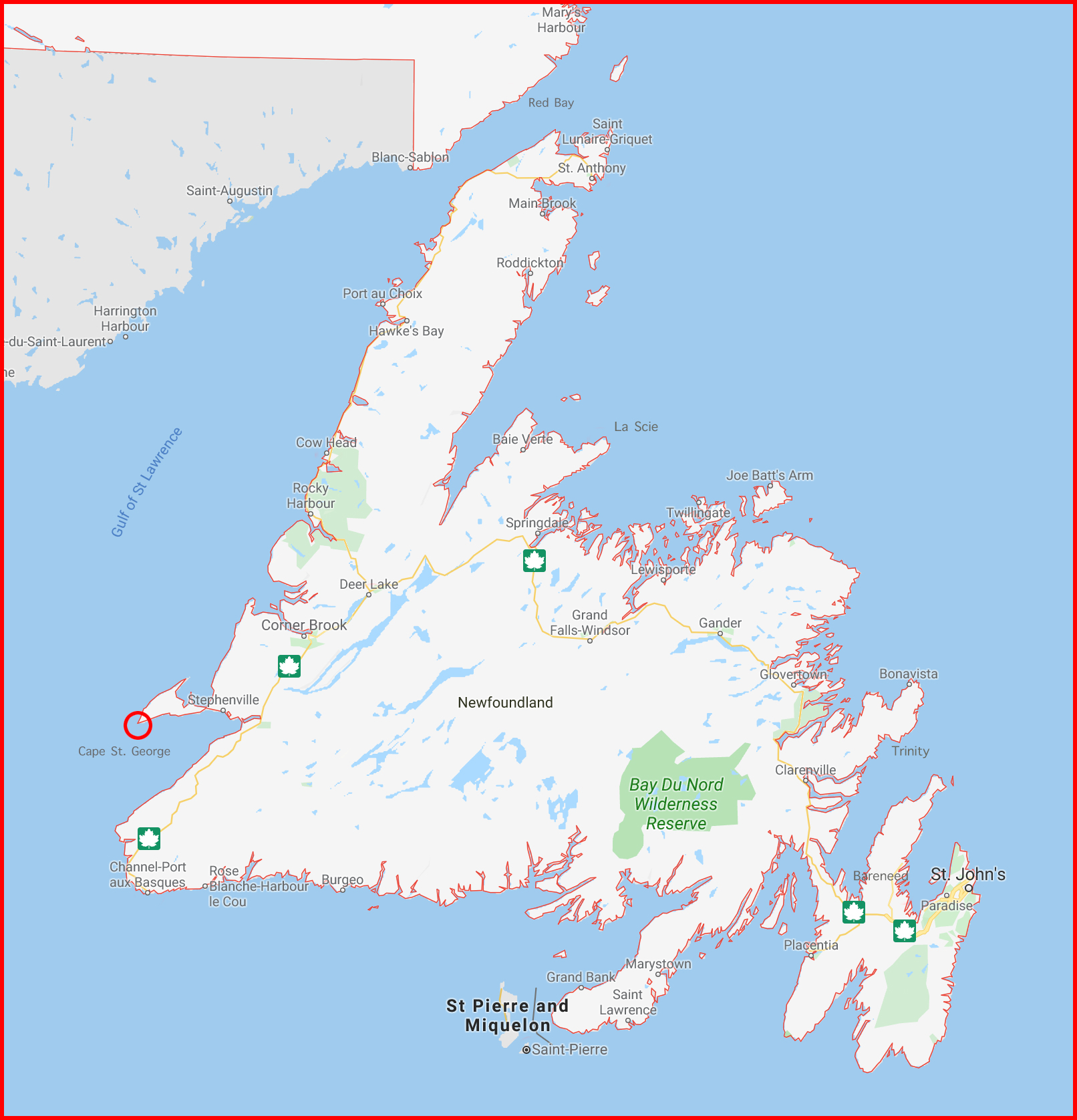
Click for a larger version of the map

Tonight we are staying in Cape St. George on the Port au Port peninsula. It is circled in red on the map to the left.

This area of Newfoundland was settled by Basques fishermen who until the early 20th century had fishing rights in the coastal waters. This area remains the centre of the Franco-Newfoundlander communitiy.

I have been surprised by the distances we have travelled. They looked so much smaller on the map when I planned this trip!

Tomorrow – Cow Head! See you there!

6 responses to “First day on the Rock!”

  1. Gillian Avatar
    Gillian

    Love the black and white photo!

    Liked by 1 person

    1. nancywcaldwell Avatar
      1. J&G Avatar
        J&G

        I love that photo as well!!!

        Liked by 1 person

  2. jlemaistre Avatar
    jlemaistre

    Sent from my iPad

    >

    Like

  3. Becca Avatar
    Becca

    Gorgeous photos!

    Like

Leave a Reply

Click on the map for a larger version

Tracey and I arrived safely in Newfoundland though the ferry trip was a little daunting. There was the expected yet surprisingly minimal rolling, but as the ferry hit big waves there would be ominous thumps, and the biggest waves made this huge ferry – and us! – judder! Concern and kindness were on hand as crew members asked how we were doing and came through with blankets for comfort and snoozes.

We spent the night at Port aux Basques (circled in red on the map) before heading out for our first day of exploring Newfoundland and Labrador. The silver lining to struggling with a 4.5 hour time change is being awake waaay too early and catching the dawn arrival of the overnight ferry from North Sydney entering Port aux Basques harbour.

Codroy Wetlands trail – click for a better look at Tracey!

First stop: the Codroy Valley Wetlands in search of birds to photograph. Today was so cold and windy and damp, however, that the smart birds decided to stay home. Tracey and I, however, enjoyed our walk on the trail where we were sheltered from the wind. We found fiddleheads popping up to say hello to each other, and thickets of dense trees. The trail appeared to end at a farmer’s field with the estuary and a few trees in the misty distance.
Hello! Welcome to spring!

Further along the same road is the historic Cape Anguille lighthouse marking the most westerly point on the island. (When in St. John’s I plan to visit Cape Spears, the most easterly point.) We are before times for tourist season and are finding roads and monuments and nature trails quite empty.
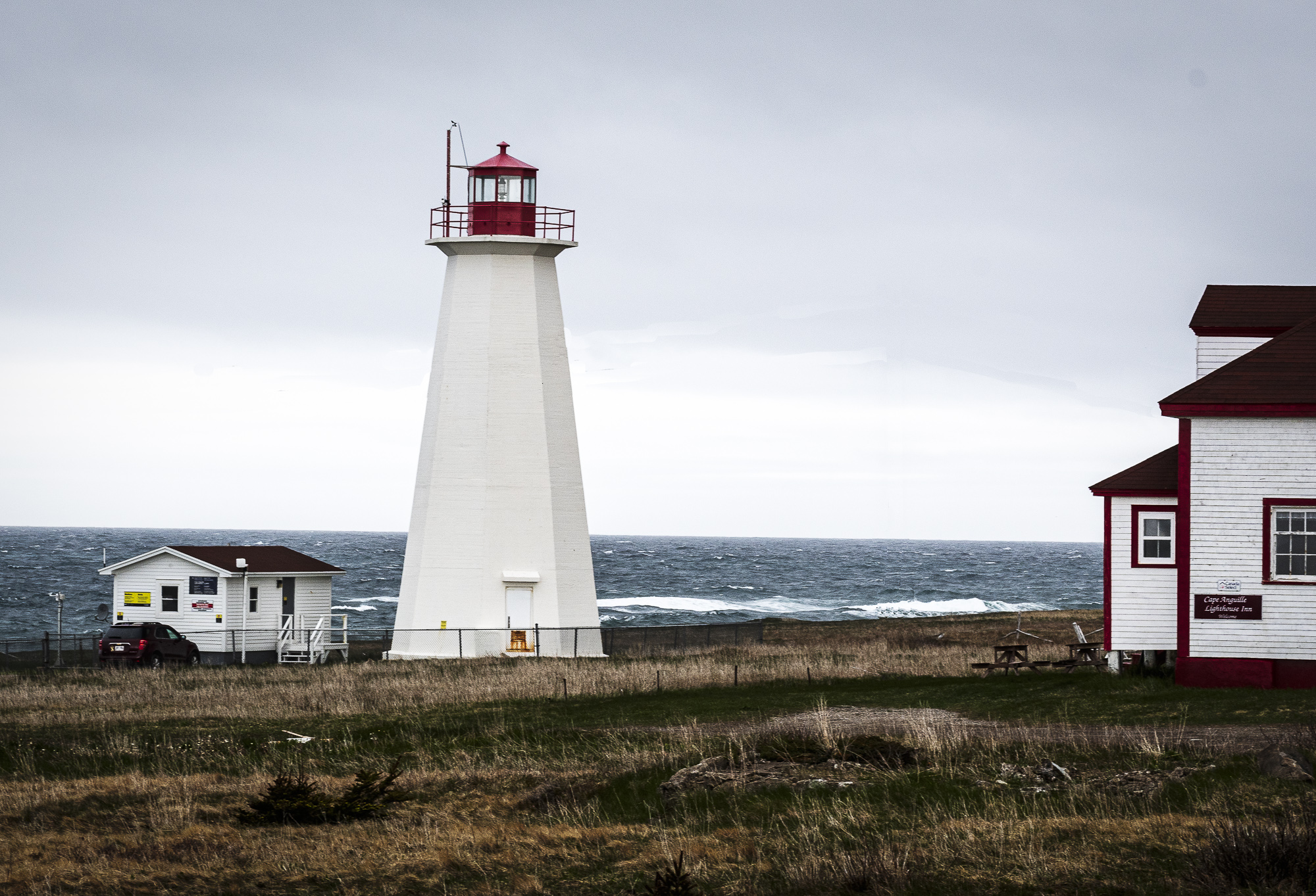
Cape Anguille Lighthouse

The drive back to the TransCanada Highway took us past Holy Trinity Church with its moving cemetary. The Carters who lived to be 90 years old shared space with five of their children who died at birth and in very early childhood. It is heartbreaking to contemplate.
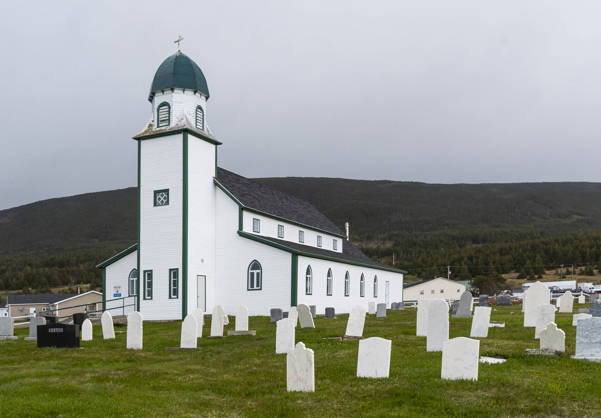
Holy Trinity Anglican Church
Crosses for five baby Carters
Click for a larger version of the map

Tonight we are staying in Cape St. George on the Port au Port peninsula. It is circled in red on the map to the left.

This area of Newfoundland was settled by Basques fishermen who until the early 20th century had fishing rights in the coastal waters. This area remains the centre of the Franco-Newfoundlander communitiy.

I have been surprised by the distances we have travelled. They looked so much smaller on the map when I planned this trip!

Tomorrow – Cow Head! See you there!