On the Move

Bryce Canyon National Park, Utah
So many hoodoos!
So many hoodoos!

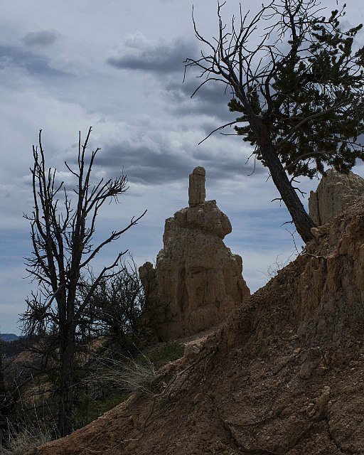
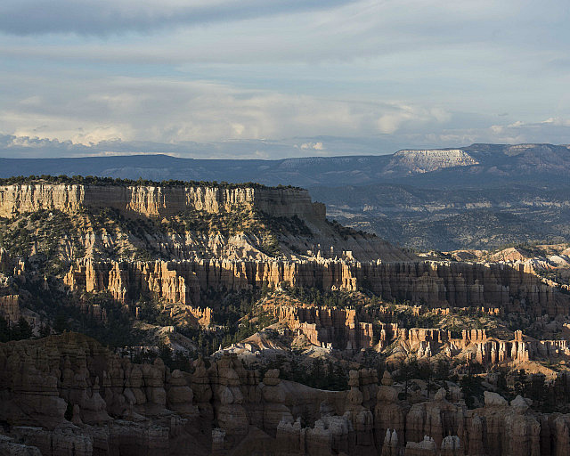
What a difference 140 kilometres (87 miles) makes! The journey to Bryce Canyon National Park took us to an elevation of 2,750 metres (9,100 feet), a drop in daytime temperature from 31°C (88°F) to 21°C (70°F), and a dramatic change in scenery.  While the red/orange colour still dominates, the rock formations are remarkably different.  We have entered the land of the hoodoos.
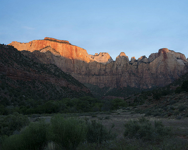
Tower of the Virgin (R); Altar of Sacrifice (L)

This morning we returned to Zion National Park for a sunrise shoot.  We watched the sun gradually make its way down the Tower of the Virgin and the Altar of Sacrifice.   It made for a lovely quiet time, I mean, who wants to disturb the beauty of the sun rising?

Following breakfast we drove to Bryce Canyon National Park, passing through the tunnel at the east side of Zion.  The 1.7 kilometre (1.1 mile) tunnel was carved out of the limestone cliffs and was completed in 1931.
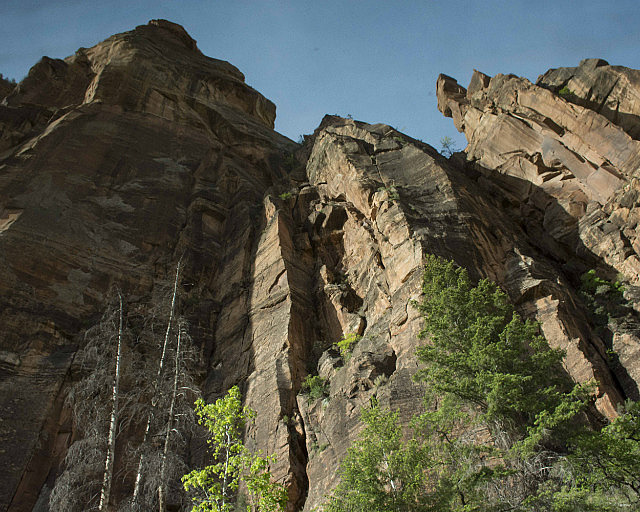
View from the bus, Zion National Park

Its width accommodated vehicular traffic at the time.  Now the largest vehicles allowed through are buses like the one we are travelling in, and traffic from the opposite direction must be stopped while a bus passes through.  The curvature of the top of the tunnel slants so steeply towards the sides that buses must drive down the centre line.
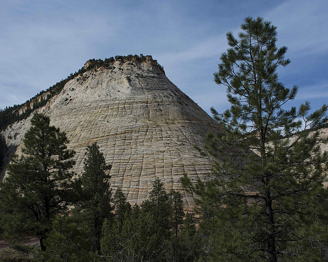
Checkerboard Mesa
Checkerboard Mesa

The east side of Zion National Park looks somewhat different from the west side.  We stopped to take a few photos when we exited the tunnel.  The Checkerboard Mesa, named because of the scoring in the rocks that looks like a – wait for it – checkerboard.  The lines are caused by repeated freezing and thawing of water trapped in small fissures on the mesa’s surface.
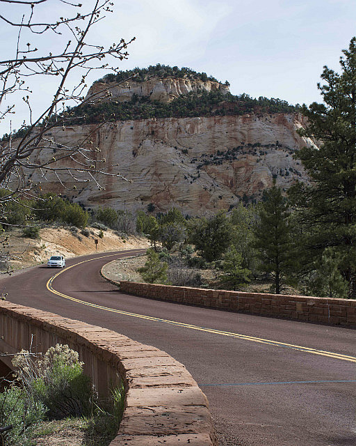
East side of Zion National Park

Bryce Canyon is not, in fact, a canyon.  It is a series of natural amphitheatres formed by erosion of the soft stone.  It is named after Ebenezer and Mary Bryce who, in the 1880s, inhabited a cabin near the “canyon.”  Ebenezer had cattle that would wander into the hoodoos and he would have to search for them.  Initially the area was referred to as Bryce’s canyon.

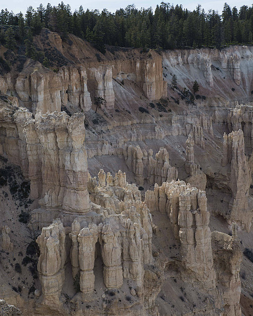
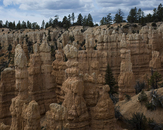
We introduced ourselves to hoodoos at Fairyland Point.  Paths lead down to the floor of the amphitheatre but we did not have time to descend the whole way –  about 6.5 kilometres (4 miles).
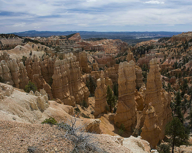
Fairyland Point hoodoos
5.1430427762.some-road-scholars-at-fairyland-point
Road Scholars at Fairyland Point


Pointing heavenward at Fairyland Point
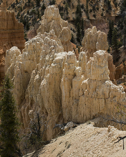
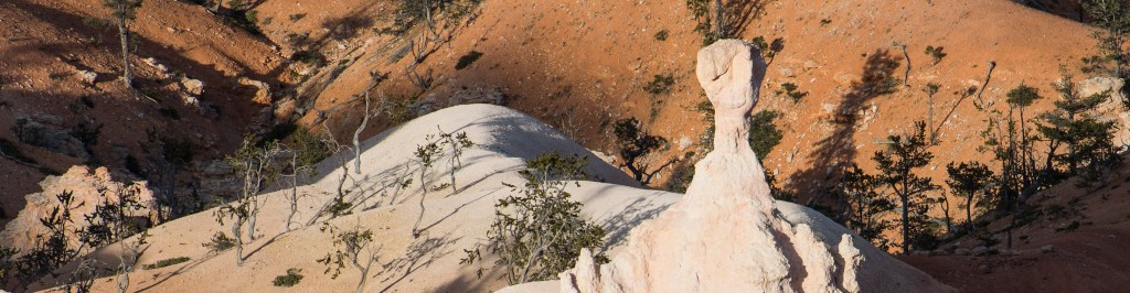
White hoodoos
White hoodoos


Ebenezer Bryce was a pragmatic man.  When asked at one time what he thought of having hoodoos in his back yard, he replied – well, it’s a hell of a place to lose a cow.

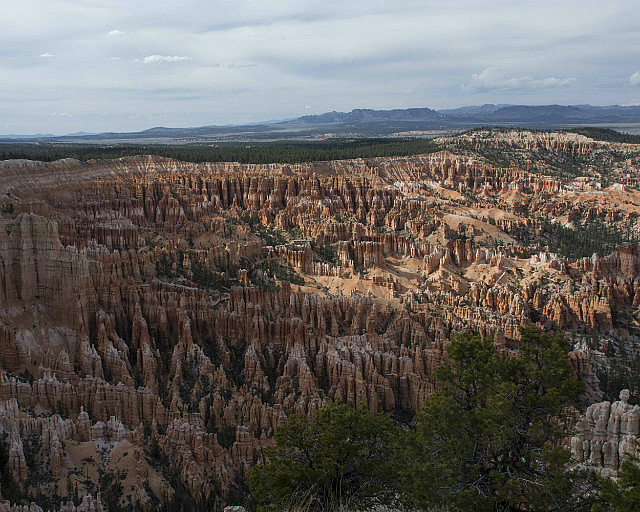
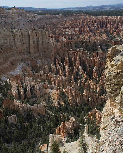
This afternoon we visited Bryce Point, a truly spectacular site of thousands of hoodoos.  Sometimes they resemble terracotta warriors, lined cheek-by-jowl in rows.  Sometimes they look like phalanxes of horse-mounted soldiers readying a charge against the facing enemy.  Caves appear to have been carved in one wall, though they are the sole result of erosion.

Bryce Point
Bryce Point
Lined up, ready for battle!
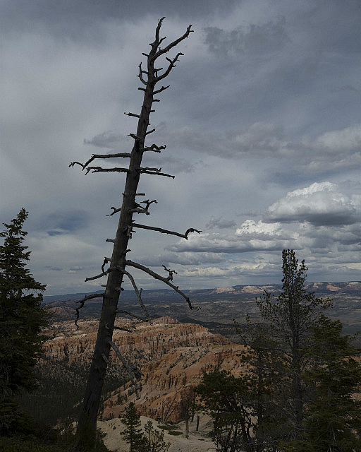
Former tree at Bryce Point
Lighter coloured hoodoos
Looking down at Bryce Point
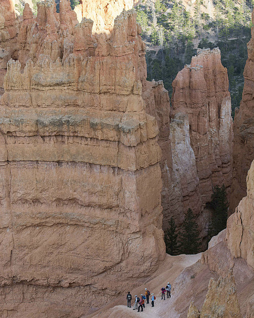
Sunset Point - some folks have taken the trail down
Sunset Point – some folks have taken the trail down


https://www.flickr.com/photos/64513024@N07/21318498985/in/datetaken/

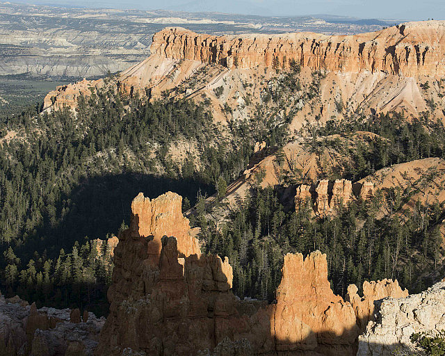
Following a discussion of photography topics and dinner, we set up at Sunset Point to watch the setting sun light the hoodoos and paint coloured pictures on the clouds.

Til tomorrow!

Light on two mesas at Sunset Point
Sunset at Sunset Point


Sunset at Sunset Point

Leave a Reply

So many hoodoos!
So many hoodoos!

What a difference 140 kilometres (87 miles) makes! The journey to Bryce Canyon National Park took us to an elevation of 2,750 metres (9,100 feet), a drop in daytime temperature from 31°C (88°F) to 21°C (70°F), and a dramatic change in scenery.  While the red/orange colour still dominates, the rock formations are remarkably different.  We have entered the land of the hoodoos.

Tower of the Virgin (R); Altar of Sacrifice (L)

This morning we returned to Zion National Park for a sunrise shoot.  We watched the sun gradually make its way down the Tower of the Virgin and the Altar of Sacrifice.   It made for a lovely quiet time, I mean, who wants to disturb the beauty of the sun rising?

Following breakfast we drove to Bryce Canyon National Park, passing through the tunnel at the east side of Zion.  The 1.7 kilometre (1.1 mile) tunnel was carved out of the limestone cliffs and was completed in 1931.

View from the bus, Zion National Park

Its width accommodated vehicular traffic at the time.  Now the largest vehicles allowed through are buses like the one we are travelling in, and traffic from the opposite direction must be stopped while a bus passes through.  The curvature of the top of the tunnel slants so steeply towards the sides that buses must drive down the centre line.

Checkerboard Mesa
Checkerboard Mesa

The east side of Zion National Park looks somewhat different from the west side.  We stopped to take a few photos when we exited the tunnel.  The Checkerboard Mesa, named because of the scoring in the rocks that looks like a – wait for it – checkerboard.  The lines are caused by repeated freezing and thawing of water trapped in small fissures on the mesa’s surface.

East side of Zion National Park

Bryce Canyon is not, in fact, a canyon.  It is a series of natural amphitheatres formed by erosion of the soft stone.  It is named after Ebenezer and Mary Bryce who, in the 1880s, inhabited a cabin near the “canyon.”  Ebenezer had cattle that would wander into the hoodoos and he would have to search for them.  Initially the area was referred to as Bryce’s canyon.

We introduced ourselves to hoodoos at Fairyland Point.  Paths lead down to the floor of the amphitheatre but we did not have time to descend the whole way –  about 6.5 kilometres (4 miles).
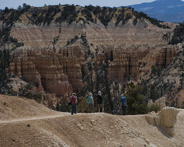
Fairyland Point hoodoos
5.1430427762.some-road-scholars-at-fairyland-point
Road Scholars at Fairyland Point


Pointing heavenward at Fairyland Point
White hoodoos
White hoodoos


Ebenezer Bryce was a pragmatic man.  When asked at one time what he thought of having hoodoos in his back yard, he replied – well, it’s a hell of a place to lose a cow.

This afternoon we visited Bryce Point, a truly spectacular site of thousands of hoodoos.  Sometimes they resemble terracotta warriors, lined cheek-by-jowl in rows.  Sometimes they look like phalanxes of horse-mounted soldiers readying a charge against the facing enemy.  Caves appear to have been carved in one wall, though they are the sole result of erosion.
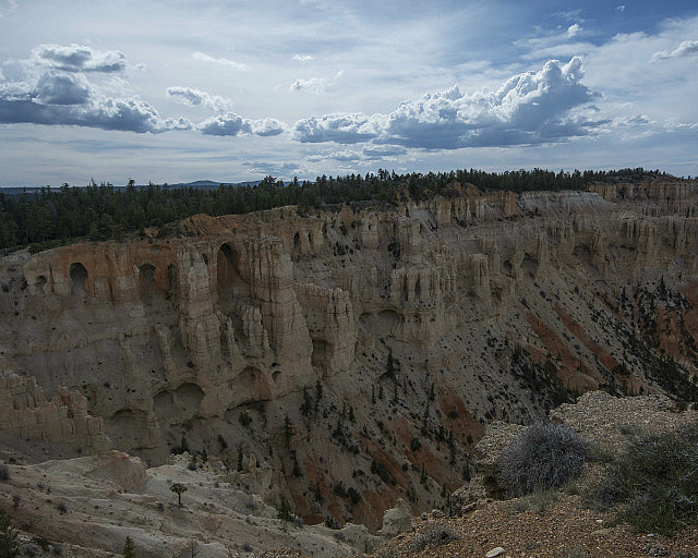
Bryce Point
Bryce Point
Lined up, ready for battle!
Former tree at Bryce Point
Lighter coloured hoodoos
Looking down at Bryce Point
Sunset Point - some folks have taken the trail down
Sunset Point – some folks have taken the trail down


https://www.flickr.com/photos/64513024@N07/21318498985/in/datetaken/

Following a discussion of photography topics and dinner, we set up at Sunset Point to watch the setting sun light the hoodoos and paint coloured pictures on the clouds.

Til tomorrow!
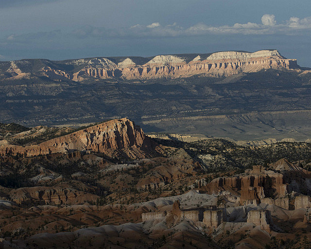
Light on two mesas at Sunset Point
Sunset at Sunset Point


Sunset at Sunset Point